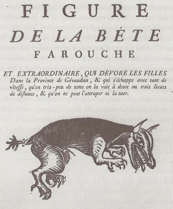
“[Mister] Renous, alluding to myself, asked him what he thought of the King of England sending out a collector to their country, to pick up lizards and beetles, and to break stones? The old gentlemen thought seriously for some time, and then said, „… no man is so rich as to send out people to pick up such rubbish.“
Journal and remarks, 1832-1836, by Charles Darwin.

On December 27, 1831,H.M.S. Beagle set sail from Plymouth harbor, England, to South America. Planned as a three-year-long survey mission to map the coastlines, it will eventually become a five-year-long trip around the world.
On board was a 22-year-old Charles Darwin. He secured a place on the voyage — “by far the most important event in my life” — thanks to his lifelong interest in geology, as Darwin himself remembers in his autobiography.
„It was soon after I began collecting stones, i.e., when 9 or 10, that I distinctly recollect the desire I had of being able to know something about every pebble in front of the hall door–it was my earliest and only geological aspiration at that time.“
During his school years, Darwin remains interested in chemistry and minerals.
„I continued to collecting minerals with much zeal, but quite unscientifically – all that I cared was a new named mineral, and I hardly attempted to classify them.“
As a student of medicine at Edinburgh University, Darwin attended various lectures on natural sciences, including some by mineralogist Robert Jameson.
„During my second year at Edinburgh I attended Jameson’s lectures on Geology and Zoology, but they were incredibly dull. The sole effect they produced on me was the determination never as long as I lived to read a book on Geology, or in any way to study the science.“
Despite Darwin’s harsh criticism of Jameson’s public lectures, he still used Jameson’s Manual of Mineralogy for his private studies, as it is one of the most heavily annotated books found in his library. He explores the surroundings of his hometown of Shrewsbury in search of rocks.
„…an old Mr. Cotton, in Shropshire, who knew a good deal about rocks, had pointed out to me … a well-known large erratic boulder in the town of Shrewsbury, called the ‚bell-stone;‘ … This produced a deep impression on me, and I meditated over this wonderful stone.“
Darwin’s interest in parties and natural sciences led him to neglect his medical education. His disappointed father, a physician himself, sent him to Christ’s College, Cambridge, to study for a Bachelor of Arts degree as the first step towards becoming an Anglican country parson.
In Cambridge Darwin met William Whewell, an amateur mineralogist himself, and befriended one of the top geologists of the time, Adam Sedgwick, president of the newly formed Geological Society of London. He regularly attended the private lectures on geology held by Sedgwick and botanist/geologist John Stevens Henslow. In summer of 1831, Sedgwick invited the young Darwin to join him on a geological field trip to Wales.
Darwin was interested in acquiring the basics of geological fieldwork, structural geology and rock classification. Twenty pages of notes made by Darwin during this tour are still preserved today.
„This tour was of decided use in teaching me a little how to make out the geology of a country.“
When Darwin returned back home, a letter from Captain Robert FitzRoy was waiting for him. It offered him a position as gentlemen companion on board of the H.M.S. Beagle, ready to set sail at the end of the year. FitzRoy was himself an amateur geologist and delighted to get a „young man of promising ability, extremely fond of geology” as companion during the many months out at sea.
Darwin made good use of the remaining time by practicing mineral identification and proudly remarks:
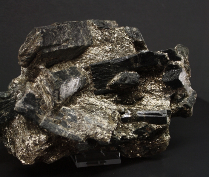
„Hornblende determined by myself.“
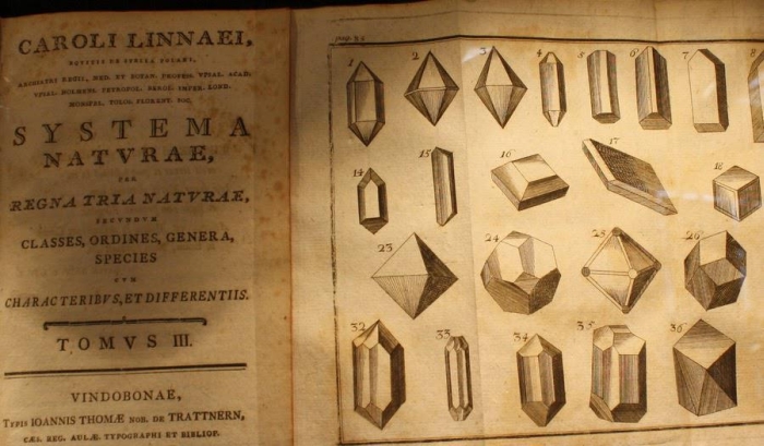
On board of the Beagle, Darwin had access to a complete library, including A selection of the Geological Memoirs (1824), featuring a mineral identification chart compiled by famous French geologist Alexandre Brongniart. This manual uses, similar to modern guides, properties like color, hardness and shape to identify crystals and minerals and, unlike modern guides, also taste and odor.
Werner’s nomenclature of colors published in 1821 by Patrick Syme is a book displaying just a chart and the description of various colors to be compared with minerals, animals and plants. Darwin himself brought this book on board of the Beagle and used it to describe snakes, rocks and even the „beryl blue“ glaciers seen in the Andes.

The first stop of the Beagle in January 1832 was Quail Island (today Island of Santa Maria), a small island located in the bay of Praia of the larger island of St. Jago (today Santiago in the Cape Verde Islands).
„The geology of St. Jago is very striking, yet simple: a stream of lava formerly flowed over the bed of the sea, formed of triturated recent shells and corals, which it has baked into a hard white rock. Since then the whole island has been upheaved. But the line of white rock revealed to me a new and important fact, namely that there had been afterwards subsidence around the craters, which had since been in action, and had poured forth lava. It then first dawned on me that I might perhaps write a book on the geology of the various countries visited, and this made me thrill with delight.“
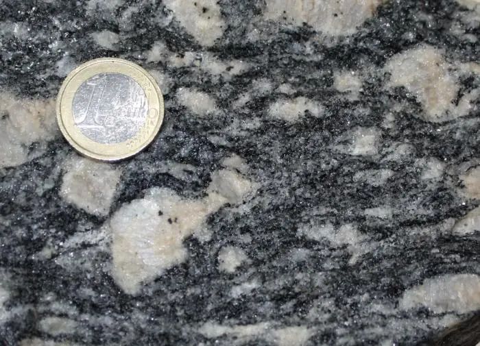
In April 1832, the Beagle reached the port of Rio de Janeiro, Brazil, to the great relieve of a very seasick Darwin.
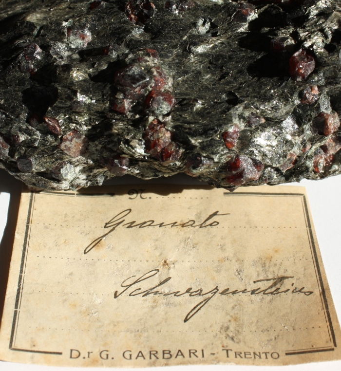
Perhaps to lift his spirits, Darwin went on to geologize a bit around the city, climbing the Pão de Açúcar (Sugarloaf Mountain). Darwin describes in detail the local augen-gneiss,
„abounding with garnets, and porphyritic with large crystals, even three and four inches in length, of orthoclase feldspar: in these crystals, mica and garnets are often enclosed.“
As the Beagle surveyed the coast of South America, Darwin was free to explore the continent. He will visit outcrops and mines and creates one of the first geological cross-sections of the Andes.
In the next five year, Darwin will compile 1.383 pages of geology-related notes. By comparison, the biological observations that made him famous comprise a mere 368 pages.
Darwin’s final advice for collecting rocks and minerals is still valid today.
„Put a number on every specimen, and every fragment of a specimen; and during the very same minute let it be entered in the catalogue, so that if hereafter its locality be doubted, the collector may say in good truth, ‚Every specimen of mine was ticketed on the spot.'“